 https://basemap.at/wp-content/uploads/sites/53/2021/05/basemap_100.jpg
326
326
OWeinberger
https://basemap.at/wp-content/uploads/sites/53/2019/06/logo-basemap-trans-3-e1561616417483.png
OWeinberger2019-07-30 20:01:472023-03-31 07:27:34STANDARD
https://basemap.at/wp-content/uploads/sites/53/2021/05/basemap_100.jpg
326
326
OWeinberger
https://basemap.at/wp-content/uploads/sites/53/2019/06/logo-basemap-trans-3-e1561616417483.png
OWeinberger2019-07-30 20:01:472023-03-31 07:27:34STANDARD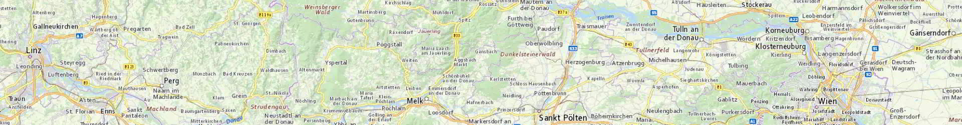
Welcome to basemap.at
Austrian OGD basemap
Important: As of now (03/30/2023) NEW URLs for all products!
- 100% official geodata of austrian administrations
- Update bi-monthly
- free use
- Open Government Data license of Austria
- Why you should use it: 100-KB-PDF
basemap.at is the result of a cooperation of the nine Austrian provinces (geoland.at) and the partners Österreichischer Städtebund, ÖVDAT and BEV.
Products
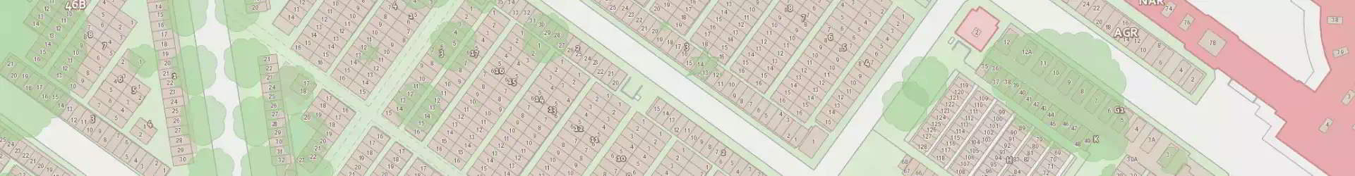
basemap.at is a cartographic product based on the administrative data of the nine Austrian provinces and their partners, especially the Austrian Assocation of Cities and Towns as well as GIP.at – a nationwide transport graph.
The map covers the entire Austrian territory. It is updated bimonthly according to the data updates from the partners. The cartography as well as the underlying data are constantly updated and improved. Therefore, not only the map content, but also the cartographic presentation might change in the future.
basemap.at is distribute in different product variations. Access is via WebServices (online products) or Filedumps (offline products), based on standards (ISO, OGC) or well.known spcifications of industry.
Detailed information is published on data.gv.at.
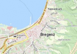
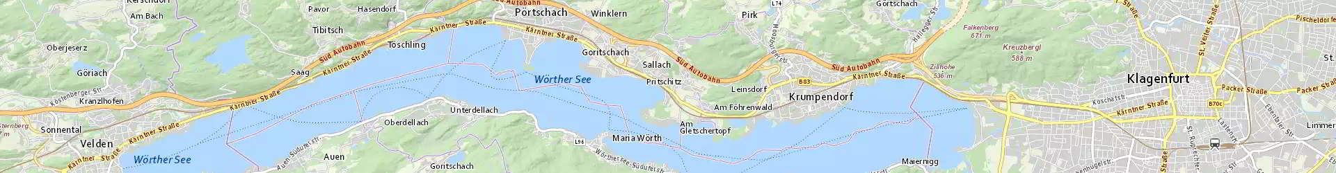
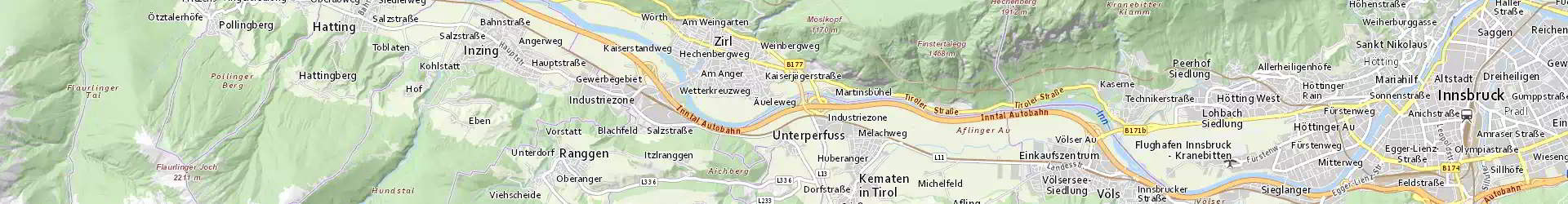
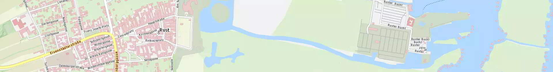
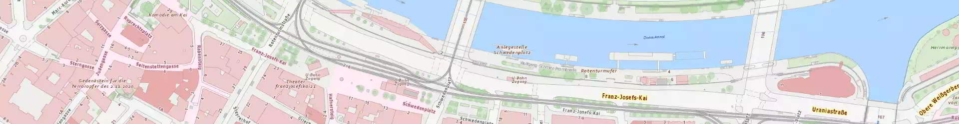
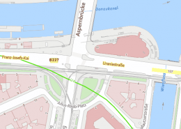
basemap.at RASTER
https://basemap.at/wp-content/uploads/sites/53/2021/05/basemap_100.jpg
326
326
OWeinberger
https://basemap.at/wp-content/uploads/sites/53/2019/06/logo-basemap-trans-3-e1561616417483.png
OWeinberger2019-07-30 20:01:472023-03-31 07:27:34STANDARD https://basemap.at/wp-content/uploads/sites/53/2021/05/basemap_101.jpg
326
326
OWeinberger
https://basemap.at/wp-content/uploads/sites/53/2019/06/logo-basemap-trans-3-e1561616417483.png
OWeinberger2019-07-30 19:16:482023-03-31 07:28:03GRAU
https://basemap.at/wp-content/uploads/sites/53/2021/05/basemap_101.jpg
326
326
OWeinberger
https://basemap.at/wp-content/uploads/sites/53/2019/06/logo-basemap-trans-3-e1561616417483.png
OWeinberger2019-07-30 19:16:482023-03-31 07:28:03GRAU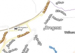 https://basemap.at/wp-content/uploads/sites/53/2021/05/basemap_104.jpg
326
326
OWeinberger
https://basemap.at/wp-content/uploads/sites/53/2019/06/logo-basemap-trans-3-e1561616417483.png
OWeinberger2019-07-30 18:17:122023-03-31 07:29:37OVERLAY
https://basemap.at/wp-content/uploads/sites/53/2021/05/basemap_104.jpg
326
326
OWeinberger
https://basemap.at/wp-content/uploads/sites/53/2019/06/logo-basemap-trans-3-e1561616417483.png
OWeinberger2019-07-30 18:17:122023-03-31 07:29:37OVERLAY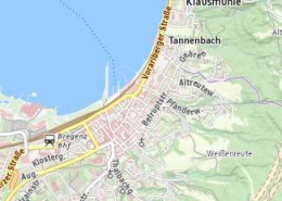 https://basemap.at/wp-content/uploads/sites/53/2021/05/basemap_102.jpg
326
326
OWeinberger
https://basemap.at/wp-content/uploads/sites/53/2019/06/logo-basemap-trans-3-e1561616417483.png
OWeinberger2019-07-30 17:00:422023-03-31 07:30:06HIGHDPI
https://basemap.at/wp-content/uploads/sites/53/2021/05/basemap_102.jpg
326
326
OWeinberger
https://basemap.at/wp-content/uploads/sites/53/2019/06/logo-basemap-trans-3-e1561616417483.png
OWeinberger2019-07-30 17:00:422023-03-31 07:30:06HIGHDPI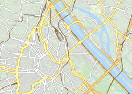 https://basemap.at/wp-content/uploads/sites/53/2019/07/basemap31256stummfarbe.png
326
326
OWeinberger
https://basemap.at/wp-content/uploads/sites/53/2019/06/logo-basemap-trans-3-e1561616417483.png
OWeinberger2019-07-30 15:00:412023-03-31 07:30:44STUMM 31256
https://basemap.at/wp-content/uploads/sites/53/2019/07/basemap31256stummfarbe.png
326
326
OWeinberger
https://basemap.at/wp-content/uploads/sites/53/2019/06/logo-basemap-trans-3-e1561616417483.png
OWeinberger2019-07-30 15:00:412023-03-31 07:30:44STUMM 31256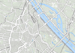 https://basemap.at/wp-content/uploads/sites/53/2019/07/basemap31256stummgrau.png
326
326
OWeinberger
https://basemap.at/wp-content/uploads/sites/53/2019/06/logo-basemap-trans-3-e1561616417483.png
OWeinberger2019-07-30 14:00:262023-03-31 07:22:50STUMM GRAU 31256
https://basemap.at/wp-content/uploads/sites/53/2019/07/basemap31256stummgrau.png
326
326
OWeinberger
https://basemap.at/wp-content/uploads/sites/53/2019/06/logo-basemap-trans-3-e1561616417483.png
OWeinberger2019-07-30 14:00:262023-03-31 07:22:50STUMM GRAU 31256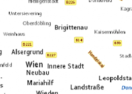 https://basemap.at/wp-content/uploads/sites/53/2019/07/basemap31256-overlay.png
326
326
OWeinberger
https://basemap.at/wp-content/uploads/sites/53/2019/06/logo-basemap-trans-3-e1561616417483.png
OWeinberger2019-07-30 13:00:582023-03-31 07:23:21OVERLAY 31256
https://basemap.at/wp-content/uploads/sites/53/2019/07/basemap31256-overlay.png
326
326
OWeinberger
https://basemap.at/wp-content/uploads/sites/53/2019/06/logo-basemap-trans-3-e1561616417483.png
OWeinberger2019-07-30 13:00:582023-03-31 07:23:21OVERLAY 31256basemap.at RASTER Offline
https://basemap.at/wp-content/uploads/sites/53/2021/05/basemap_100.jpg
326
326
OWeinberger
https://basemap.at/wp-content/uploads/sites/53/2019/06/logo-basemap-trans-3-e1561616417483.png
OWeinberger2019-07-31 14:30:552021-06-17 15:29:43STANDARD
https://basemap.at/wp-content/uploads/sites/53/2021/05/basemap_101.jpg
326
326
OWeinberger
https://basemap.at/wp-content/uploads/sites/53/2019/06/logo-basemap-trans-3-e1561616417483.png
OWeinberger2019-07-30 18:32:252021-06-17 15:38:19GRAU
https://basemap.at/wp-content/uploads/sites/53/2021/05/basemap_104.jpg
326
326
OWeinberger
https://basemap.at/wp-content/uploads/sites/53/2019/06/logo-basemap-trans-3-e1561616417483.png
OWeinberger2019-07-30 14:44:572021-06-17 15:41:14OVERLAY
https://basemap.at/wp-content/uploads/sites/53/2021/05/basemap_102.jpg
326
326
OWeinberger
https://basemap.at/wp-content/uploads/sites/53/2019/06/logo-basemap-trans-3-e1561616417483.png
OWeinberger2019-07-29 14:24:262021-06-17 15:43:15HIGHDPIbasemap.at VECTOR
 https://basemap.at/wp-content/uploads/sites/53/2019/07/vtc.png
530
530
OWeinberger
https://basemap.at/wp-content/uploads/sites/53/2019/06/logo-basemap-trans-3-e1561616417483.png
OWeinberger2019-07-31 14:00:292021-06-17 15:34:36BMAPV
https://basemap.at/wp-content/uploads/sites/53/2019/07/vtc.png
530
530
OWeinberger
https://basemap.at/wp-content/uploads/sites/53/2019/06/logo-basemap-trans-3-e1561616417483.png
OWeinberger2019-07-31 14:00:292021-06-17 15:34:36BMAPVbasemap.at VECTOR Offline
https://basemap.at/wp-content/uploads/sites/53/2019/07/vtc.png
530
530
OWeinberger
https://basemap.at/wp-content/uploads/sites/53/2019/06/logo-basemap-trans-3-e1561616417483.png
OWeinberger2019-07-31 14:01:512021-06-17 15:34:05BMAPVbasemap.at Isolines Vector
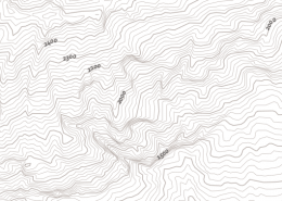 https://basemap.at/wp-content/uploads/sites/53/2019/07/vtch.png
530
530
OWeinberger
https://basemap.at/wp-content/uploads/sites/53/2019/06/logo-basemap-trans-3-e1561616417483.png
OWeinberger2019-07-31 14:03:282023-03-31 07:25:48BMAPVHL
https://basemap.at/wp-content/uploads/sites/53/2019/07/vtch.png
530
530
OWeinberger
https://basemap.at/wp-content/uploads/sites/53/2019/06/logo-basemap-trans-3-e1561616417483.png
OWeinberger2019-07-31 14:03:282023-03-31 07:25:48BMAPVHLbasemap.at Isolines Vector Offline
https://basemap.at/wp-content/uploads/sites/53/2019/07/vtch.png
530
530
OWeinberger
https://basemap.at/wp-content/uploads/sites/53/2019/06/logo-basemap-trans-3-e1561616417483.png
OWeinberger2019-07-31 14:04:282021-06-17 15:33:03BMAPVHLShading
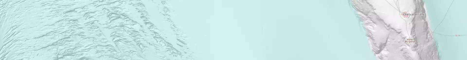
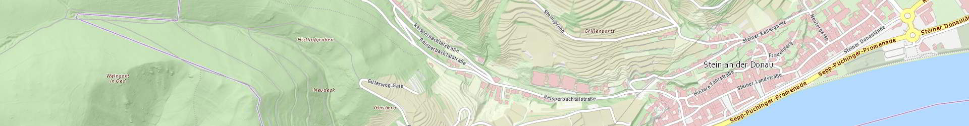
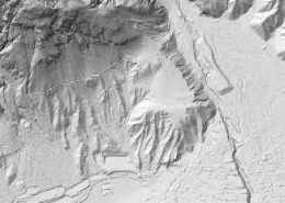 https://basemap.at/wp-content/uploads/sites/53/2019/06/schum1.jpg
326
326
OWeinberger
https://basemap.at/wp-content/uploads/sites/53/2019/06/logo-basemap-trans-3-e1561616417483.png
OWeinberger2019-07-31 10:05:492021-06-17 15:35:48GELAENDE
https://basemap.at/wp-content/uploads/sites/53/2019/06/schum1.jpg
326
326
OWeinberger
https://basemap.at/wp-content/uploads/sites/53/2019/06/logo-basemap-trans-3-e1561616417483.png
OWeinberger2019-07-31 10:05:492021-06-17 15:35:48GELAENDE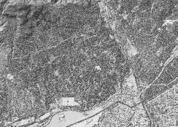 https://basemap.at/wp-content/uploads/sites/53/2019/06/schum2.jpg
326
326
OWeinberger
https://basemap.at/wp-content/uploads/sites/53/2019/06/logo-basemap-trans-3-e1561616417483.png
OWeinberger2019-07-30 18:50:222023-03-31 07:28:47OBERFLAECHE
https://basemap.at/wp-content/uploads/sites/53/2019/06/schum2.jpg
326
326
OWeinberger
https://basemap.at/wp-content/uploads/sites/53/2019/06/logo-basemap-trans-3-e1561616417483.png
OWeinberger2019-07-30 18:50:222023-03-31 07:28:47OBERFLAECHEShading Offline
https://basemap.at/wp-content/uploads/sites/53/2019/06/schum1.jpg
326
326
OWeinberger
https://basemap.at/wp-content/uploads/sites/53/2019/06/logo-basemap-trans-3-e1561616417483.png
OWeinberger2021-02-01 12:37:112021-06-17 15:30:20GELAENDE
https://basemap.at/wp-content/uploads/sites/53/2019/06/schum2.jpg
326
326
OWeinberger
https://basemap.at/wp-content/uploads/sites/53/2019/06/logo-basemap-trans-3-e1561616417483.png
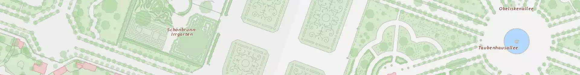
OWeinberger2021-02-01 12:35:152021-02-15 17:28:05OBERFLAECHEbasemap.at Orthofoto
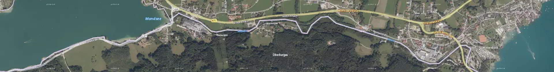
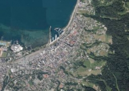 https://basemap.at/wp-content/uploads/sites/53/2021/05/basemap_103.jpg
326
326
OWeinberger
https://basemap.at/wp-content/uploads/sites/53/2019/06/logo-basemap-trans-3-e1561616417483.png
OWeinberger2019-07-31 14:12:132023-03-31 07:24:59ORTHOFOTO
https://basemap.at/wp-content/uploads/sites/53/2021/05/basemap_103.jpg
326
326
OWeinberger
https://basemap.at/wp-content/uploads/sites/53/2019/06/logo-basemap-trans-3-e1561616417483.png
OWeinberger2019-07-31 14:12:132023-03-31 07:24:59ORTHOFOTObasemap.at Orthofoto Offline
https://basemap.at/wp-content/uploads/sites/53/2021/05/basemap_103.jpg
326
326
OWeinberger
https://basemap.at/wp-content/uploads/sites/53/2019/06/logo-basemap-trans-3-e1561616417483.png
OWeinberger2019-07-31 14:13:312021-06-17 15:31:28ORTHOFOTObasemap.at Areas of Detail
 https://basemap.at/wp-content/uploads/sites/53/2019/06/verd1.png
326
326
OWeinberger
https://basemap.at/wp-content/uploads/sites/53/2019/06/logo-basemap-trans-3-e1561616417483.png
OWeinberger2019-07-31 13:50:542021-06-17 15:35:17BASEMAPVERDOGD
https://basemap.at/wp-content/uploads/sites/53/2019/06/verd1.png
326
326
OWeinberger
https://basemap.at/wp-content/uploads/sites/53/2019/06/logo-basemap-trans-3-e1561616417483.png
OWeinberger2019-07-31 13:50:542021-06-17 15:35:17BASEMAPVERDOGDHelp
Guidelines using basemap.at in geoinformation systems and frameworks:
basemap.at RASTER
- ArcGIS Desktop: 1-MB-PDF
- ArcGIS Pro: 3-MB-PDF
- ArcGIS Online: 2-MB-PDF
- QGIS: 1-MB-PDF, iSticktoit.net, GISForge
- OpenLayers:
- Open Layers 2 200-KB-PDF
- OpenLayers 5.3
- Smallworld WebMapConnector: Youtube-Video
- WordPress, Robert Harm: Leaflet Maps Markers
- Oruxmaps: 300-KB-PDF
- Google Maps JS API v3 integration, Sergii Kauk: github-Source, Demo
- 3D-Cesium JavaScript, Left Gully: Demo, JS and HTML Beispiel
- Python-App Integration: 400-KB-PDF
- Offline downloader (new version: January 2019, version 31256: October 2019), Land Vorarlberg:
- MOBAC, Land Oberösterrech:
- WebTiledLayerTool ArcGIS Extension,Synergis:
- PNG Mbtiles optimise, Wilhelm Berg: GitHub
basemap.at VECTOR:
- ArcGIS Pro (Version 2.3 and higher) – basemap.at VECTOR integration, Synergis: 800-KB-PDF
- Adapter/Demo for Mapbox GL JS, QGIS, maputnik,…, Wilhelm Berg: Manual, Demo
- Usage with Maplibre GL JS, Trafficon – Kilian Finger: Manual, Demo
- QGIS 3.8 Manual
- QGIS 3.16 Integration, Land Vorarlberg: Documentation, sample projects (QGIS 3.16 required!): EPSG3857.qgz, EPSG31254.qgz
- OpenVTPK – Tool to convert a VTPK to MBTiles container, Thomas Halwax: Tool
- ESRI VTPK to Mbtiles converter, Wilhelm Berg: GitHub
- ArcGIS Online Integration (Sept. 2021) – Documentation: 2-MB-PDF
Terms of Use
 According to the Open Government Data License Austria, CC-BY 4.0,
basemap.at can be used for any purpose, even commercially.
Naming has to be performed in the following way:
„Data source: basemap.at“
– including the hyperlink to basemap.at
How to implement the terms of use in a correct way, see these examples: 1-MB-PDF
basemap.at Logo Download:
News
 https://basemap.at/wp-content/uploads/sites/53/2019/08/newrelease.png
236
236
Wolfgang Jörg
https://basemap.at/wp-content/uploads/sites/53/2019/06/logo-basemap-trans-3-e1561616417483.png
Wolfgang Jörg2023-02-01 17:11:462026-01-08 16:43:19News
https://basemap.at/wp-content/uploads/sites/53/2019/08/newrelease.png
236
236
Wolfgang Jörg
https://basemap.at/wp-content/uploads/sites/53/2019/06/logo-basemap-trans-3-e1561616417483.png
Wolfgang Jörg2023-02-01 17:11:462026-01-08 16:43:19NewsThis post is also available in: German